Sand to Snow National Monument
by Kristine Bonner

Sand to Snow - BLM Photo
The Sand to Snow National Monument was established by President Obama on February 12, 2016. Its name is apt as it stretches from the sands of the Sonoran Desert to the top of San Gorgonio Mountain, the highest mountain in Southern California. That covers a range from 1,000 ft to 11,000 feet in elevation, and an area of about 154,000 acres. It protects a wildlife corridor connecting the San Bernardino National Forest/San Gorgonio Wilderness area, Joshua Tree National Park, and the Bighorn Mountain Wilderness area.
The establishment of the monument is in part due to a 20 year effort by the Wildlands Conservancy to acquire lands threatened with development critical to the continuity of wilderness areas in Southern California. Termed the “Sand to Snow Wilderness Interface Project,” the effort used private funds to acquire and protect lands now included in the new national monument.

Map of Sand to Snow National Monument - click to enlarge
Sand to Snow is located in an area within a two hour drive of major southern California population areas. Many areas of the new monument surround smaller urban communities such as Pioneertown that could also take advantage of the recreational opportunities and respite that the new designation will help to implement. Wildlands Conservancy estimates 18.5 million people could access the area for hiking, climbing, camping, horseback riding, hunting, geocaching, skiing, wildlife viewing, and other activities.

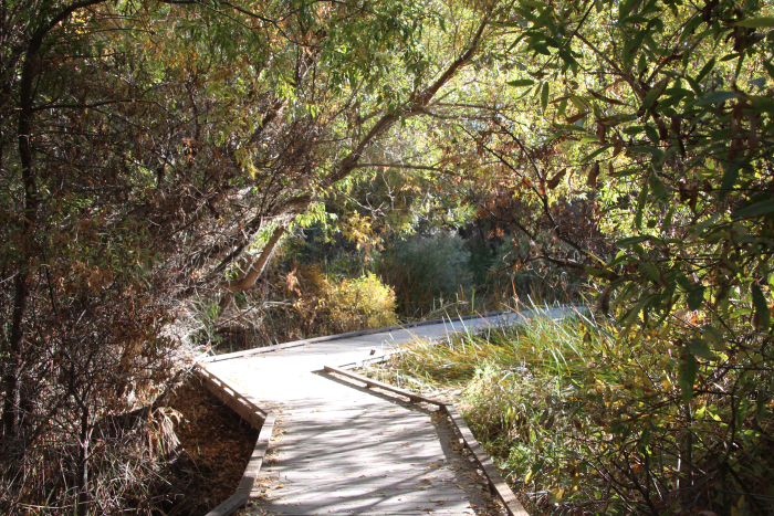
Camping in San Gorgonio Wilderness - BLM Photo
San Gorgonio Mountain has cultural significance for many of the indigenous peoples of the area.
“San Gorgonio, so named after Saint Gorgonius by early 17th century Spanish missionaries, is just one name for this remarkable, region-defining mountain. The Cahuilla Indians call the mountain Kwiria-Kaich, which means "bald" or "smooth," and consider it among the sacred peaks of southern California. The Gabrielino Indians from the Los Angeles Basin treat San Gorgonio Mountain with reverence and refer to it as Akvangna. The Luiseño Indians consider San Gorgonio Mountain sacred and the older brother of Mount San Jacinto; both peaks were among the first born of Earth Mother. The Luiseño refer to San Gorgonio Mountain as Pewipwi.”
-Excerpt from Presidential Proclamation -- Establishment of the Sand to Snow National Monument – President Obama
Thirty miles of the renowned Pacific Crest Trail bisect the monument, bringing its travelers 7,000 feet higher as they exit the monument near the Mission Springs area after having entered at Whitewater Canyon. Parts of the trail can be used by day hikers at any time of the year, and in spring a throng of longer term hikers pass through on their way to hike more of the famous route.

Pacific Crest Trail - BLM Photo
A huge range of plants and animals live in the diverse ecosystems represented in Sand to Snow. The monument contains numerous transition zones – areas where different ecosystems blend and then diverge. The desert flora and fauna of the higher Mojave and lower Sonoran deserts are represented here as well as coniferous and even alpine mountain species in the higher elevations. Coastal chaparral and California oak woodlands, pinyon/juniper woodlands and riparian zones, and even sand dune habitat found near the Whitewater and San Gorgonio rivers make up parts of the monument. The Wildlands Conservancy comments, “Millions of years of glacial expansion and recession deposited more than 1,600 plant species in these mountains, dispersing them throughout diverse niches on the north and south aspects of peaks that rise more 11,000 feet from the desert floor.”
A discontiguous area, Ate 'Ivyat (meaning rocky place in the Serrano language), containing Black Lava Butte and Flat Top Mesa is also part of the Sand to Snow National Monument. Evidence of long habitation by the Serrano people can be seen in the abundant petrolyphs here. It’s estimated there are more than 40 sites with over 1,700 rock art images in the area. The Serrano consider Ate 'Ivyat to be a sacred place. It can be reached via Pipes Canyon Road.
Access to Sand to Snow can be found along Highway 38, via Mission Creek Preserve and Whitewater Preserve.
The monument will be administered in part by the Bureau of Land Management (BLM) and in part by the United States Forest Service (USFS).
Big Morongo Canyon Preserve - BLM Photo

Big Morongo Canyon Preserve - BLM Photo
California Sen. Dianne Feinstein and the Wildlife Conservancy were instrumental in the creation of the three monuments: the Mojave Trails National Monument, the Sand to Snow National Monument and the Castle Mountain National Monument. A quarter million acres of the Mojave Trails National Monument lands had been privately purchased by the Wildlife Conservancy and donated to the US Department of the Interior in anticipation of governmental action. Feinstein had long advocated for the protection of the desert lands, but had been unable to get legislation passed by Congress. She, and many others, requested Obama act to protect the lands. Feinstein had introduced the California Desert Protection Act of 1994 to Congress. The Act converted Death Valley and Joshua Tree National Monuments into their present designation as National Parks and the East Mojave National Scenic Area into the Mojave National Preserve. The monuments created in February of 2016 fulfill a vision of interconnected preserve areas to promote the well being of wildlife and ecosystems, and long term protection for California's desert wildernesses. This preserve is now the second largest desert preserve in the world; only the enormous Namib-Naukluft National Park in Namibia is larger at 19,216 sq mi. (12,298,240 acres)

Related DesertUSA Pages
- How to Turn Your Smartphone into a Survival Tool
- 26 Tips for Surviving in the Desert
- Death by GPS
- 7 Smartphone Apps to Improve Your Camping Experience
- Maps Parks and More
- Desert Survival Skills
- How to Keep Ice Cold in the Desert
- Desert Rocks, Minerals & Geology Index
- Preparing an Emergency Survival Kit
Share this page on Facebook:
The Desert Environment
The North American Deserts
Desert Geological Terms


