Ocotillo Wells California OHV Area
Trail Maps
General Info | Maps| Pumpkin Patch | Blow
Sand Hill
Devil's
Slide | Gas
Domes | Arroyo
Salado | 4 X 4 Training Area |Little People

California
Vehicular Recreation Area Maps Click on Map for PDF file
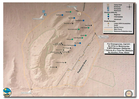
New 4 X 4 Traing area Click on Map for PDF

Old Tail map Click to enlarge

Related DesertUSA Pages
- How to Turn Your Smartphone into a Survival Tool
- 26 Tips for Surviving in the Desert
- Death by GPS
- 7 Smartphone Apps to Improve Your Camping Experience
- Maps Parks and More
- Desert Survival Skills
- How to Keep Ice Cold in the Desert
- Desert Rocks, Minerals & Geology Index
- Preparing an Emergency Survival Kit
Share this page on Facebook:
The Desert Environment
The North American Deserts
Desert Geological Terms
SEARCH THIS SITE


